We have collected together some of the best local walks for you to enjoy. The leaflets are downloadable and there is also a GPX file (see note below) and a KML for those of you who can use them. This site is managed by unpaid volunteers. If you have enjoyed the walks please consider making a small donation towards our overheads. Please go to JustGiving. Any comments or questions please contact.
Whilst walking in this lovely part of the country please be considerate to the whole community by following The Countryside Code

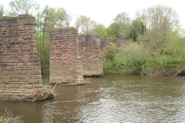
Walk 1 – Ross to Brampton Abbotts – A 5.7 mile stile-free walk alongside the River Wye from Ross on Wye and then back through Brampton Abbotts.
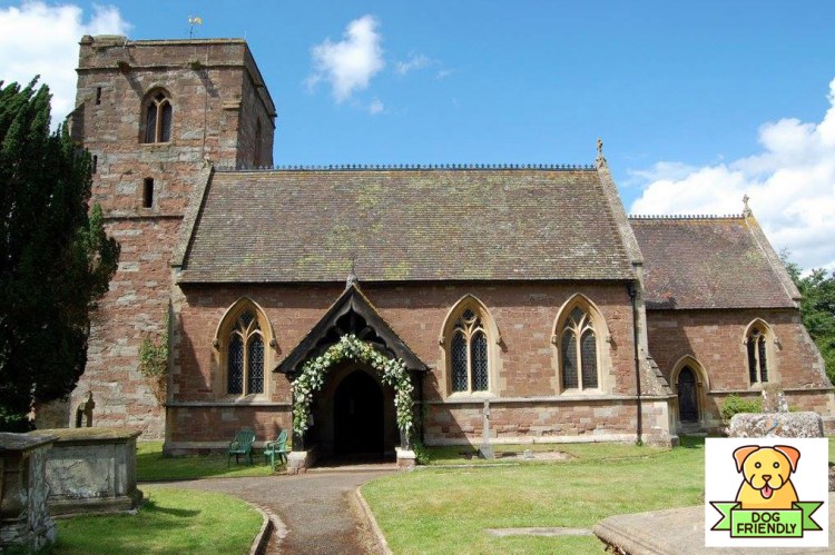
Walk 2 – Bridstow Walk – A circular 3.8 mile mostly flat stile-free walk, crossing the River Wye at Wilton and includes a loop around Wilton Castle.
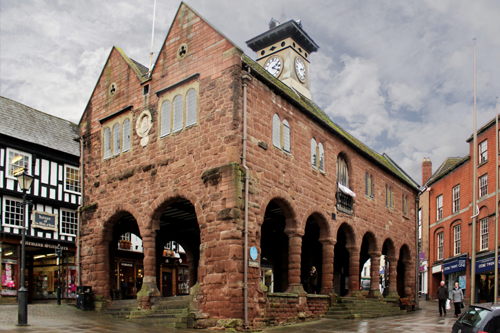
Walk 3 – Ross-on-Wye Buggy Route – A family and buggy friendly 4.5 walk popular with users of electrically powered scooters and wheelchairs, as well as people with children’s buggies.
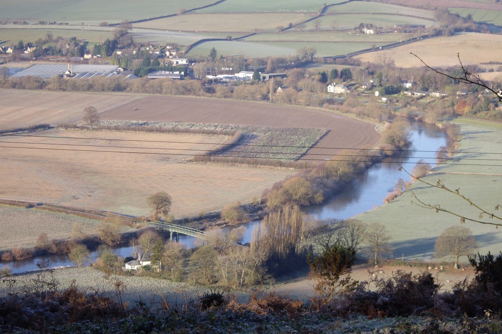
Walk 4 – Coppett Hill Walk – A 6.6 mile walk over the ridge of Coppett Hill with outstanding views over the Wye valley
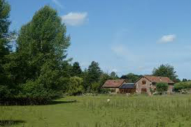
Walk 5 – Weston-under-Penyard & Linton – A 6.7 mile walk over gently rolling Herefordshire countryside
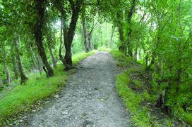
Walk 6 – Fownhope and Capler Camp – A 6-mile walk around Fownhope, nature reserves and an Iron Age Hill Fort on the banks of the River Wye.
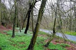
Walk 7 – Joyce’s Walk around Hope Mansel – A 3.8 mile walk through Lea Bailey Forest and around the entire valley of Hope Mansell
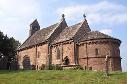
Walk 8 – Kilpeck up to Saddlebow Hill – A 5.0-mile walk from Kilpeck up to Saddlebow Hill

Walk 9 – Kings Caple and Hoarwithy – A 5.1-mile stile-free walk around Kings Caple and Hoarwithy featuring the banks of the River Wye and a pedestrian suspension bridge.
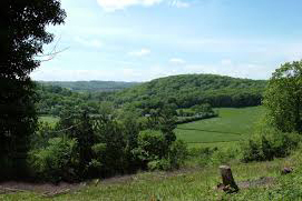
Walk 10 – Woolhope and Sollers Hope – A 6.4 mile stile-free walk around Woolhope and Sollers Hope within the Woolhope Dome.
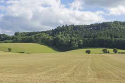
Walk 11 – Ross on Wye and Weston under Penyard – A circular 6.5 mile stile-free walk over Penyard Hill to Weston under Penyard
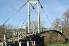
Walk 12 – Sellack & Hoarwithy – A leisurely 7-mile walk in the Wye valley including a Victorian suspension bridge, an Italianate church and a lovely picnic spot by the river.
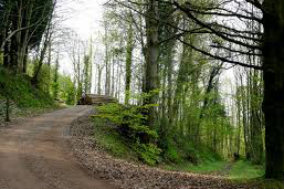
Walk 13 – Dancing Green from Weston under Penyard – A circular 4.1 mile walk through Pontshill, up to Dancing Green and back through Penyard Woods
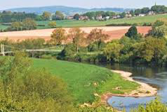
Walk 14 – Sellack Loop – Take in the lovely 11th Century Church of St Tysilio and an easy stile-feree stroll around the parish.
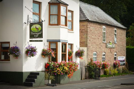
Walk 15 – Harewood End down to Hoarwithy – A 4.5 mile walk from Harewood End down to Hoarwithy on the banks of the River Wye
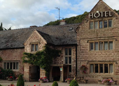
Walk 16 – Wye Valley from the Old Court – A stile-free 5.3 mile walk along the banks of the Wye taking in a rope ferry (check timetable).
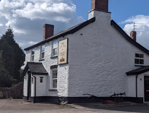
Walk 17 – Peterstow – Bridstow Orchard – A stile-free 2.1 mile walk along the boundaries of Peterstow and Bridstow
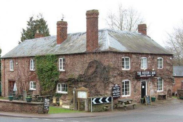
Walk 18 – Weston Cross Inn Loop Walks – A circular 4.1 mile walk from Weston under Penyard, skirting Penyard Woods, through Woodfields fruit farm and passing Bollitree Castle. Can be walked as two separate loops
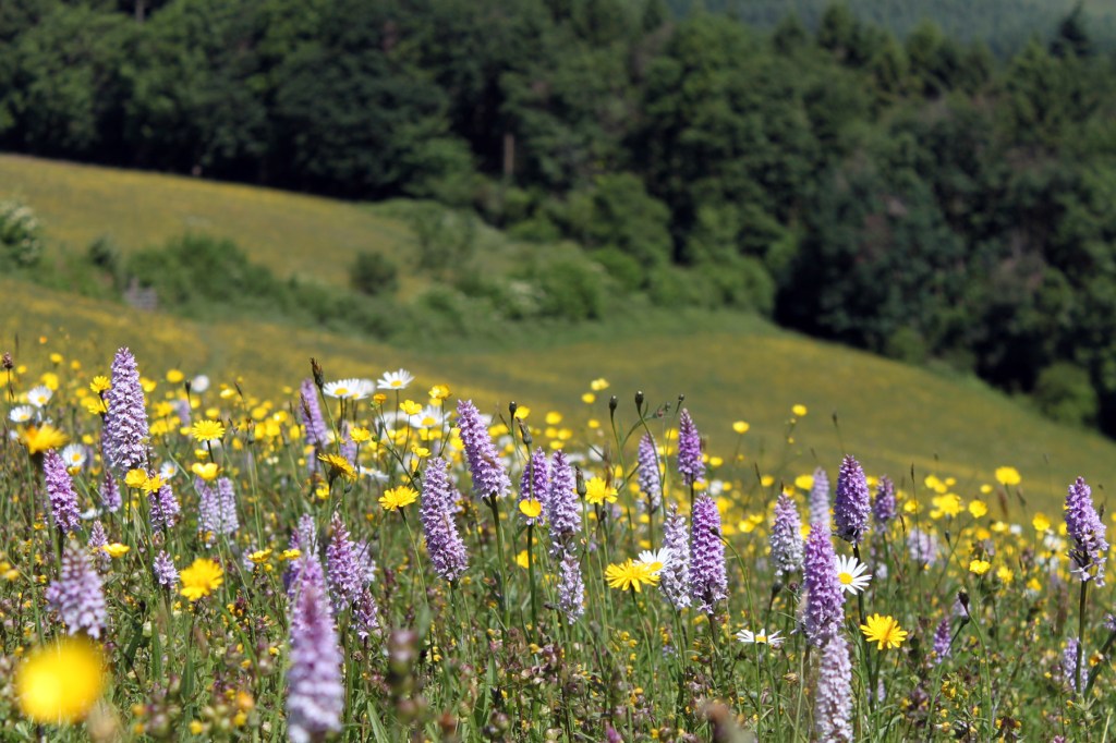
Walk 19 – Marcle Ridge, Sollers Hope and Woolhope – A 9.2 mile walk from the top of Marcle Ridge, travelling around the famous Woolhope Dome and passing through the villages of Sollers Hope and Woolhope.
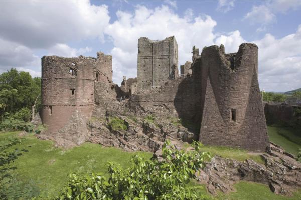
Walk 20 – Ross on Wye to Kerne Bridge – An 11.4-mile walk following the west bank of the River Wye from Ross on Wye down to Kerne Bridge, passing Goodrich Castle and returning on the Wye Valley Walk over Chase Hill. Or, walk half the route using the bus to Kerne Bridge.
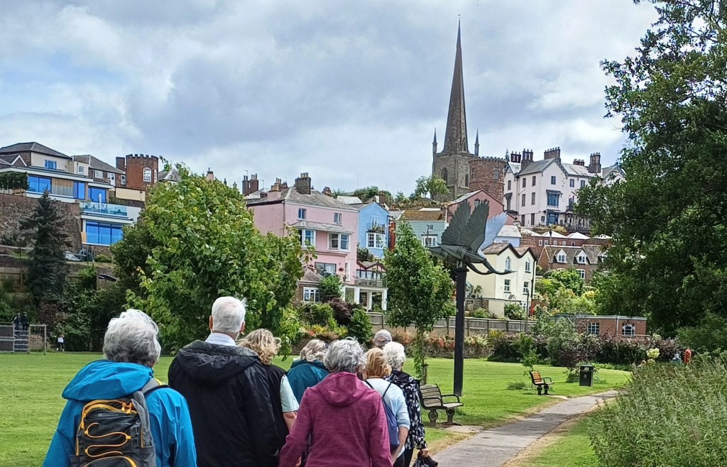
Walk 21 – Ross to Hole in the Wall and back – A stile-free 7.9 mile loop (river & farmland) from Ross to Hole in the Wall & back, walking parts of the Herefordshire Trail and Wye Valley Walk.
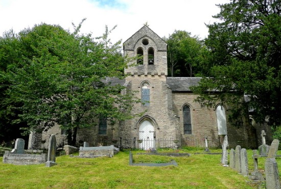
Walk 22 – Walford Loop A 4.4 mile stile-free walk taking in Bull’s Hill, some of the Wye Valley Walk and Bishopwood Church

Walk 23 – Ross to Chase Hill and back – A 4-mile loop over Chase Hill & back through Cobrey & Hill Farms

Walk 24 – Ross to Marsh Farm and back – A 2.5 mile stile-free loop walk from The Market House in Ross on Wye through the nearby countryside to the east.
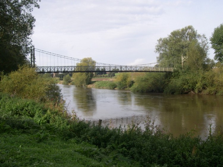
Walk 25 – Ross to Sellack and Foy – An 11.6 mile stile-free loop from Ross, following 3.6 miles of The Wye Valley Walk on the way out and 5 miles of The Herefordshire Trail on the return, passing through the quaint riverside villages of Sellack and Foy.
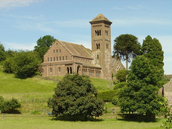
Walk 26 – Hoarwithy to Little Dewchurch – A 4.6 mile stile-free loop walk from Hoarwithy to Little Dewchurch including the Herefordshire Trail.

Walk 27 – Woolhope and Marcle Ridge – A 6.6 mile stile-free walk from Woolhope, taking in The Herefordshire Trail along Marcle ridge and Sollers Hope.
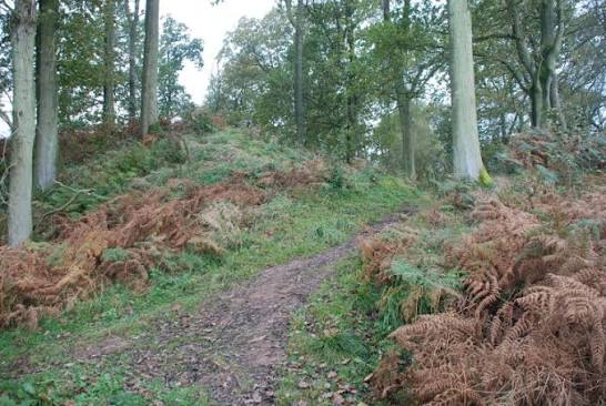
Walk 28 – Little Birch – A 4.7 mile stile-free walk from Little Birch taking in Aconbury Hill and Court, Higgin’s Well and the Herefordshire Trail
*GPX file downloads.
Some platforms will download the file directly into the application. However sometimes it is necessary to copy the file first as follows:
Left click on the GPX link and a window will open with a lot of text, Click on the downlink symbol and a second (notepad) window will open. Click on File, Save As and select a suitable place to save the file and click on save.
You should now be able to import the GPX file from the saved location into your application

